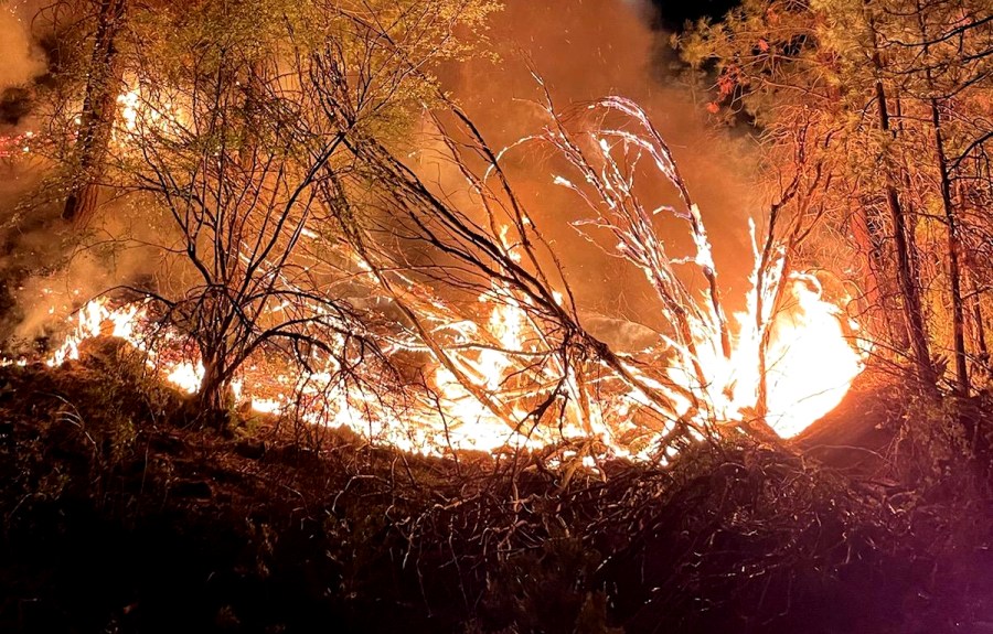
(KRON) – A panel of wildfire and climate experts based at UC San Diego told reporters at a briefing that California’s fire season forecast is grim and climate change is to blame.
A “firenado” or “fire whirl” whipped up by the Lava Fire near Mount Shasta will be one of many extreme fire weather phenomena in the coming months if the season unfolds as badly as predicted, experts say.
Firefighters are bracing for high-wind events. The Diablo and Santa Ana winds are hot, dry currents that blow through California from the northeast to the southwest.
Neal Driscoll, UCSD professor of geophysics and co-director of ALERTWildfire, told KRON4.com, “Once we have these tinder-dry conditions, single-digit humidity, we have fuels that haven’t seen rainfall in hundreds of days, and then we turn on the wind. The Santa Ana. The Diablo. This is where fire really takes off.”
When fires “take off” spreading rapidly, they create their own extreme fire weather, such as a giant pyrocumulus cloud. Intense heat from a raging wildfire produces upward moving air currents that carry water vapor and ash thousands of feet into the sky.
The Lava Fire sent a pyrocumulus cloud billowing more than 30,000 feet into the air as the wildfire exploded in size Tuesday. The “fire cloud” was twice as high as Mount Shasta.
Wildfires can also create firenados, spinning vortexes of flames.
“What happens is, just like in a natural tornado, you create a pressure differentiation. All of a sudden you got hot, warm air rising and air surrounding it moving in,” Driscoll said.
“The Creek Fire last year spawned two or three EF-1 tornados. The EF-3 at the Carr Fire has winds in excess of 150 mph. These firenados get embers high into the atmosphere. So the Carr Fire crossed the Sacramento River, which we all thought would be a firebreak. Because the fuels are so dry, embers have a much greater propensity to catch and cause a spot fire,” Driscoll said.
While there’s not much good news to report for California’s wildfire risks, there is one silver lining that UC San Diego’s panel highlighted. California’s wildfire and climate agencies are making big gains in developing technology for giving firefighters an edge on the front lines.
One example is WIFIRE, which applies the power of data science and supercomputing to provide fire officials with real-time fire models and maps to help strategize the best approach to containment.
Another example is ALERTWildfire, a network of hundreds of infrared cameras running 24/7 in high-risk areas to spot smoke plumes. The cameras have been instrumental already this season helping firefighters collect early intelligence when fires ignite.
“The best fires are the ones that never start; to mitigate risk early on. The next best one is the one that gets caught in the (ignition) phase and caught right then and there. Once you are five minutes, 10 minutes into a fire, that might get really, really tough. The ability to confirm a fire early on accurately, is critical,” said Falko Kuester, an engineer for ALERTWildfire.

There appears to have been a lack of accurate early intelligence for the Lava Fire, which was ignited by lightning.
According to The Associated Press, a Shasta-Trinity National Forest fire management officer said the Lava Fire was burning just 1/4 of an acre when the first firefighters arrived Friday. Crews left after they thought they had extinguished the small fire. But flames flared up an hour later, and when firefighters returned, they but were unable to control it, the Chronicle reported.
The Lava Fire had blistered more than 19,680 acres by Thursday morning, according to Shasta-Trinity National Forest officials.