SANTA CRUZ (KRON) The USGS has released three new maps that detail habitats, geology and submarine environment of the seafloor off the coast of San Francisco, Drakes Bay, and Tomales Point.
According to the USGS the program was initiated seven years ago with the goal of comprehensively surveying and mapping all of California’s state waters. The maps and mapping data have a large range of applications. They provide:
- A foundation for assessing marine protected areas and habitats.
- Baselines for monitoring coastal change and sea-level-rise impacts.
- Critical input data for modeling and mitigation of coastal flooding.
- A framework for understanding coastal erosion and developing regional sediment management plans.
- Contributions to earthquake and tsunami hazard assessments.
- More accurate maps for safer navigation.
- Essential information for planning, siting, or removing offshore infrastructure.
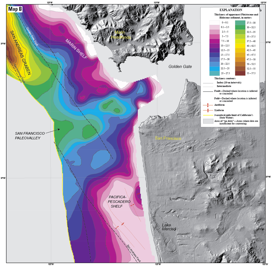
The new “Offshore of San Francisco” maps document the complex submarine environments along the inlet to San Francisco Bay formed by strong tidal currents, including spectacular sand waves, a deep scour pool beneath the Golden Gate, and the dynamic offshore San Francisco mouth bar and “Potato Patch” shoal. Sediment distribution maps reveal only a thin sediment cover offshore of the Ocean Beach (San Francisco) erosional hotspot (a pattern extending south to San Gregorio), indicating that today’s present coastal erosion will be a continuing problem, likely to be exacerbated by continuing sea-level rise. Geologic maps incorporating subsurface data document the location and geometry of the San Andreas, San Gregorio, and Point Reyes fault systems, and show how their interactions led to uplift of Point Reyes and development of a deep sediment-filled basin. The “Drakes Bay and Vicinity,” and “Offshore of Tomales Point” maps reveal the diverse and complex range of seafloor habitats typical of the California coast, ranging from the rugged granitic bedrock along the high-energy west coast of Point Reyes, to smooth sand and mud in the more protected Drakes Bay environment that includes the Point Reyes State Marine Reserve.