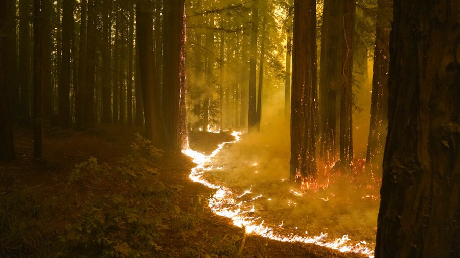
SAN FRANCISCO, Calif. (KRON) — California wildfires are growing bigger, faster, and with more intensity. Every summer, a new record is broken and entire towns are left in ashes.
To confront the crisis, the U.S. Forest Service revealed a new wildfire mitigation plan Wednesday with new tactics forest managers will take over the next decade.
The plan titled, “Strategy for Protecting Communities and Improving Resilience in America’s Forests,” includes conducting hazardous fuels removal and forest thinning on 75 million acres of federal, state, tribal and private lands.
Much of the mitigation work will be focused in communities that are most vulnerable and at highest risk of being impacted by the next big blaze.
A key provision in the plan will increase the pace of post-fire recovery and reforestation programs. The Forest Service estimates that 4 million acres of land are in need of this work.
“Wildfires are devastating the Western United States. The eight largest wildfires in California history have all occurred since 2017. Over that time, nearly 200 lives have been lost, more than 32,000 homes destroyed and 10 million acres have been scorched in California alone. This is a national emergency and it calls for decisive action,” Senator Dianne Feinstein (D-Calif.) said.
The largest wildfire complex in state history, the August Complex, was ignited by a lightning storm and scorched more than 1 million acres in 2020. The following summer, the biggest single wildfire in state history — the Dixie Fire — raged across 963,309 acres.
Wildfire-generated weather phenomena such as “firenados” and pyrocumulus clouds used to be rare, but now climatologists are observing them with startling frequency.
A network of live remote cameras set up by ALERTWildfire have helped increase public awareness of what firefighters go up against every fire season.
“The best fires are the ones that never start; to mitigate risk early on. The next best one is the one that gets caught in the (ignition) phase. Once you are five minutes, 10 minutes into a fire, that might get really, really tough,” said Falko Kuester, an engineer for ALERTWildfire.
According to the Forest Service, California’s wildfire risk level has soared over the past two decades because of three main factors: 1. Accumulating fuels. 2. Warming climate. 3. Expanding development in the wildland-urban interface.
Past land use practices, drought, and an overemphasis on fire suppression were also listed as contributing factors. Each factor alone elevates risk, and layered on top of each other, there’s a multiplier effect.
Tens of thousands of wildland firefighters are called to the frontlines every summer to suppress destructive and deadly wildfires.

But there’s a “Catch 22” with putting fires out, the Forest Service said.
Heavy fuels need to burn to reduce future wildfire risk. When lives and homes are at stake, most wildland fires have to be put out. In the end, this adds more fuels and more risk for the next fire season, and the next, the Forest Service said.
Today, the West’s wildfire risk level is classified as a “national emergency.”
“The risk has reached crisis proportions in the West, calling for decisive action to protect people and communities and improve forest health and resilience. It will take a paradigm shift in land management across jurisdictional boundaries to reduce risk and restore fire-adapted landscapes,” the Forest Service wrote.
“We need healthier, more resilient forests in the West. Under the new land management paradigm, the Forest Service will work with partners in the West to focus fuels and forest health treatments more strategically and at the scale of the problem, using the best available science as the guide,” the Forest Service wrote.
The work will focus on key “firesheds” — large forested landscapes with a high likelihood that an ignition could expose homes, communities, and infrastructure to wildfire.
